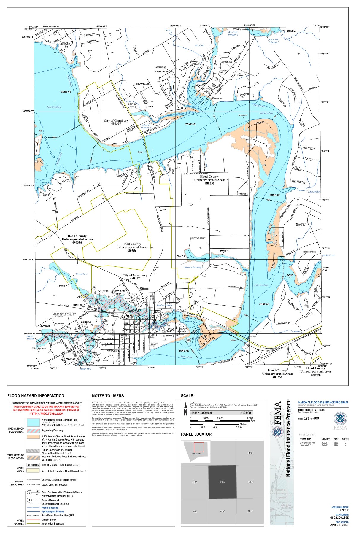
The latest map from FEMA. Shaded area is an area of moderate flood hazard, usually between the limits of the 100 year and 500 year floods.
View FEMA Flood Plain map here: https://msc.fema.gov/portal/search?AddressQuery=stockton%20bend%20texas
(When using the above link to view FEMA map, click on the map and zoom in and out with your mouse scroll control.)
Download/View PDF File here: https://drive.google.com/file/d/1qtsVyWaoHTV7IuHdqbGCvYMf9_Mo_And/view?usp=sharing